Bikepacking 3: Chippenham -> Reading - 2 days
 Blog post by
brainwipe
on 31 Oct 2026, 23:03
I didn't post this before because I wanted to do pictures and shit but it was hard to do that so I decided I'd do it after I sorted out Lack-Of. Lack-Of is in a much better place now, so here it is.
The Concept
Piotr Brzezianski, a old work colleague, had wanted to do a bike packing trip over 2 days with some distance and beautiful scenery. We'd done shorter day trips with Big Rob and my neighbour Igor, but we fancied a challenge. We hoped to do it over the summer but I fucked my ankle so we slammed a date in waaaay into the future, turned out that was the beginning of October.
The plan was: get a train to somewhere and then ride home, stopping at a pub mid-way. He wasn't too keen on the idea of hauling camping stuff. He used Komoot for planning because it's good at national cycleways in gravel and Strava is better for roads. I checked it on Strava and it looked like a lot of up and down hill. It was that because of going along The Ridgeway, AKA King Alfred's Way. The Ridgeway isn't a "go up and then ride along the top". It's "go up and then up and down all day". And going up and down on shitey rough terrain too.
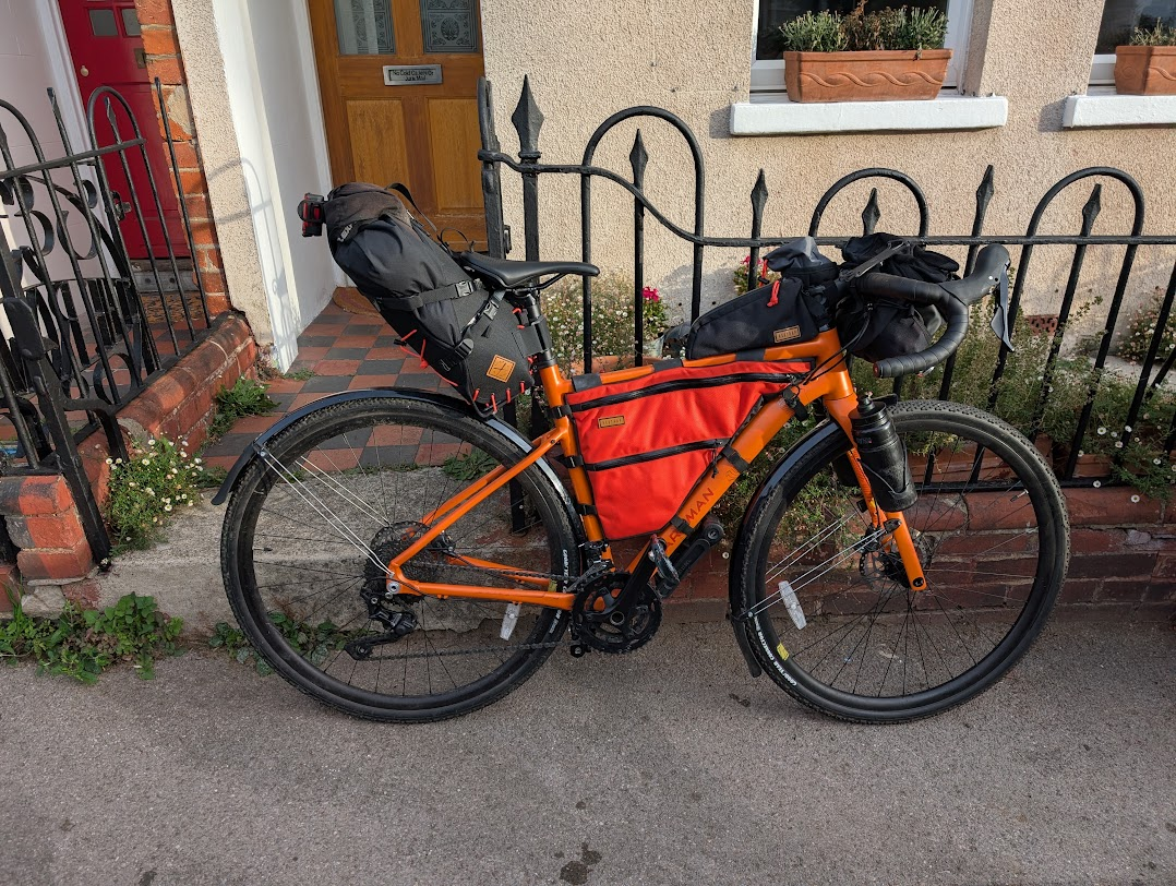
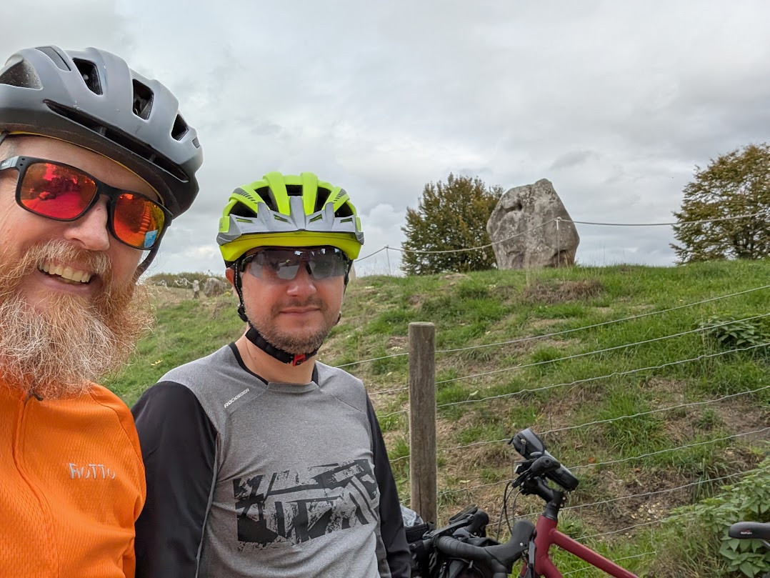
Here's Jolene, all pristine and ready to go. I'm not carrying the full handlebar cannister because it wasn't needed. I'm carrying extra clothes that I didn't before because I knew we'd be relaxing in a pub. For those that haven't met Piotr, here he is. Piotr is Polish for Peter but he's been over here so long he's more British than Polish.
We squeezed onto the train to Chippenham, it seems that booking your bike in is all bullshit. It doesn't cost anything but they don't do anything about randoms with bikes. It was only around 40 minutes and pretty much straight out of the station it was lovely riding on smooth bike paths for a good few kilometres, and then gravel.
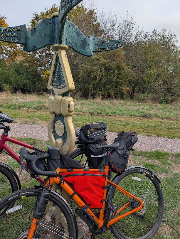
Knowing that the first big hill was after Avebury, we paused to look at some stones. English Heritage have a visitors centre and cafe, so we noshed lunch there.
The big hill was a red line on Komoot, Strava and Garmin. They all agreed. Steep, long and rough. 3km along, 1m up and all endless slippery chalk and shale. We had loads of energy after lunch and were still feeling great, keen to get up onto the hills where the views were.